py3dtiles is a Python tool that makes it possible to convert 3D geospatial data from a wide range of formats into the 3D Tiles standard, so it can be easily and efficiently visualized in real-time 3D web applications.



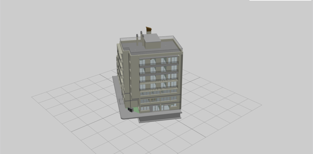
py3dtiles is a Python tool that makes it possible to convert 3D geospatial data from a wide range of formats into the 3D Tiles standard, so it can be easily and efficiently visualized in real-time 3D web applications.